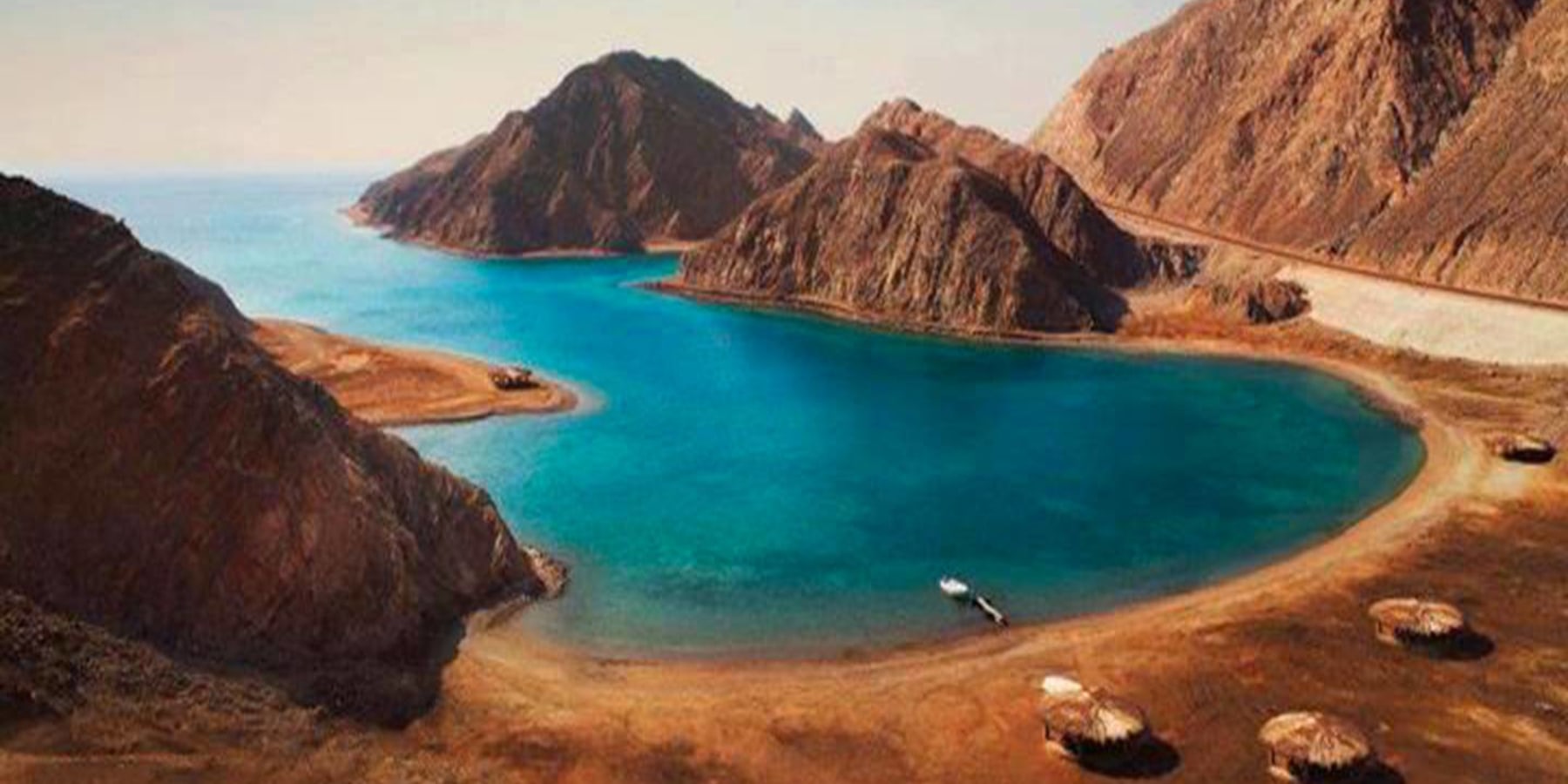
It is located 600km southeast of Cairo, along the new road that crosses the Sinai. It is more than 250km north of Sharm El Sheikh, 60km north of Nuweiba, and about 150km north of Dahab.
Due to its location near the borders of four countries: Egypt, Jordan, Saudi Arabia, and Israel, there were several battles and negotiations over which country should control Taba throughout Egypt's history.
One of the first conflicts began with the Ottoman Emperor's decree in 1892, which prevented Egypt from having hegemony over the city. However, the British authorities intervened and gave control of Taba to the Egyptians.
In 1973, the Egyptian army won the war against Israel, and both sides signed the Camp David Peace Treaty in 1979. Israel stopped occupying all Egyptian cities on the peninsula, except Taba, which was liberated in 1989, after various negotiations between the two and the international community.
Like other Sinai cities on the Red Sea, this coastal destination is characterised by its beautiful beaches, ideal for snorkelling and diving. To the west, the mountains and desert provide a fantastic environment for safaris and camping. Another important nearby attraction is the Canyon of Colors, located within the protected area of Taba. This canyon consists of 40 meters of passages between mountains and rocks of red, orange, blue, yellow, gold, silver colours due to their minerals.
Another attraction is Pharaoh Island, located 10 km north of Taba. There is a fortress built by Saladin, the famous Arab military commander, in 1171 AD. This fort served to protect the Egyptian borders during the Crusader period and the route of the pilgrims who travelled to Mecca through the lands of Sinai.
Today the fort has been transformed into a tourist site. It still preserves some of its military buildings, weapons workshop, a bread oven, steam bath, soldiers’ quarters, and a mosque.

