History of Hualien
When the Han Chinese immigrants ventured to Hualien during the late 18th century of Jiaqing Emperor's rule, they saw the surging waters of Hualien River rolling into the ocean, mixing with the Pacific Kuroshio Current, and clashing against the coastal terrain; they named the area " Huilan, churning waves" - now renamed as Hualien.
The East Coast
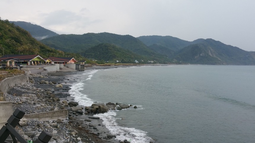
Hualien' coastline is long and narrow and faces clean ocean water. Its geographical composition is highly complex. With the rivers meeting the ocean, the surrounding ocean currents and the sea floor's rocky composition, the coast possesses habitats such as estuaries, sand beaches, gravel shores, rocky intertidal zones, rocky reefs, and coral reefs, as well as the neritic and epipelagic zones.
East-Rift Valley
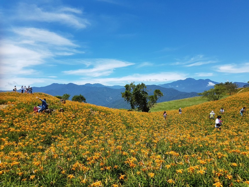
It is flanked by the Central Mountain Range to its east and the Coastal Mountain Range to its west. The height difference between the valley and surrounding mountains reach up to 2,000m. Combined with abundant water resources, the area hosts a wide variety of organisms and ecosystems, including alpine streams, forests, evergreen hardwood forests, subtropical grasslands, tropical grasslands, tropical rainforests, shrubbery, rivers and estuaries.
Taroko National Park
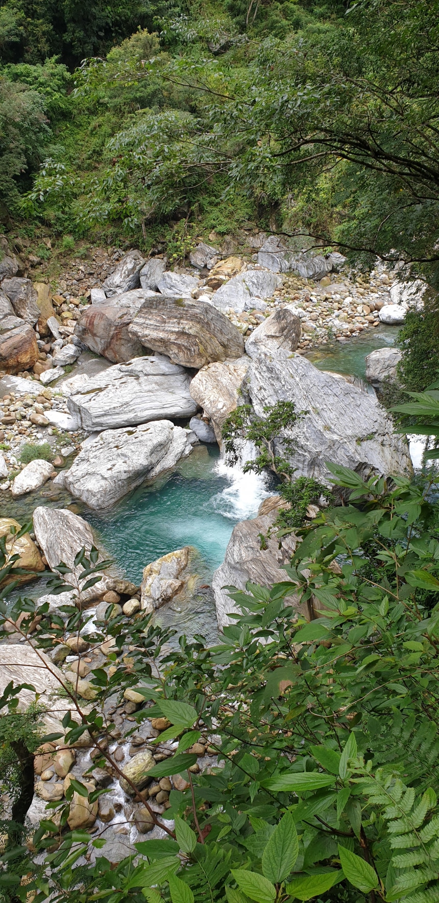
The mountains of Taroko tower high above Liwu River that has cut its way through far below. The Park harbours numerous ecosystems, such as alpine tundra, Yushan cane meadows, coniferous forests, mixed forests, evergreen hardwood forests and rivers.


