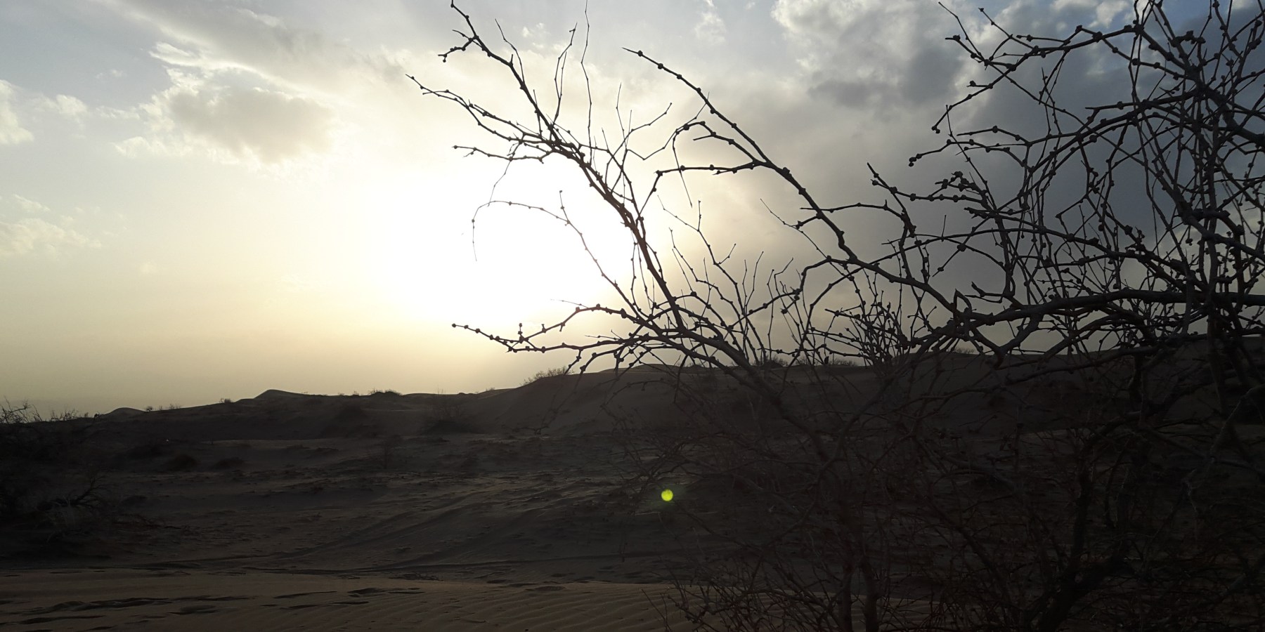
From skiing in the north to snorkelling in the south, from rafting in the west to desert trekking in the east, Iran, as an extensive country with various climates and ecosystems, offers a multitude of natural wonders to travellers who adore exploration. You must be fortunate to experience manifold activities through a short journey.
So how travellers could gain comprehensive information about attractions, routes, locations, directions, or further primary guidance? Reading Guide books, left reviews, or maps could be beneficial?
In fact, all of these actions might be useful but not adequate… Just reading general explanations and finding attractions on the maps do not motivate you to arrange a plan. A detailed description provides extra related information to a place or route. Actually, a qualified interpretation creates a real intention for travelling.
For this reason, in addition to a quick browse of Iran desert maps, let me demonstrate the reality of Iran's deserts.
Dasht-e Kavir
Kavir Desert, or the Dasht-e Kavir, a vast desert in the middle of the Iranian plateau, is shared between five provinces of Tehran, Semnan, Isfahan, Yazd, and Khorasan.
With a surface area of about 77,600 km2 (30,000 sq mi), approximately 800-kilometer-long (500 mi) by 320-kilometre-wide (200 mi) is categorized as one of the 25 most extensive deserts on the Earth. Its exact coordinates are 34°44′15.2″N 54°49′37.56″E which is visible on Iran desert maps, and also its average altitude is declared about 700 meters.
Literally, Dasht refers to a desert or plain, plus Kavir means a salty lowland in the Persian language. Interestingly, the existence of numerous salt lakes and domes in the Dasht-e Kavir is great evidence of this naming.
Rainfalls mostly are limited to the cold months of the year (December to February). As a result of excessive vaporization and drought, the majority of lakes and rivers are seasonal. The temperature difference between daytimes and nighttimes is to the extent that after a hot day, you will experience a below-zero temperature at night which is a substantial erosion agent in this region.
The central desert of Iran is surrounded by some main industrial and residential centres; cities such as Qom, Kashan, Isfahan, Yazd, Semnan, and Tabas are connected through adequate roads and highways. Apart from these urban scopes, the far-off towns or villages lying in the heart of the desert with adopted architecture and magnificent traditional water supply systems display unique lifestyle, intelligence, and persistent long-term attempts of local people against a harsh climate.
According to observable roads on Iran desert maps, uninhabited sectors seem recognizable. Due to a lack of any water sources and paths, wild sandstorms, and several salt marshes, historically, the sectors have never been crossed by caravans and solo travellers. Rig-e Jenn (devil's dune) is a great example of these dangerous areas, which have been rarely explored by a handful of equipped adventurous groups.
The Dasht-e Kavir is not categorized as a "no life" desert. The Kavir National Park, located on the western end of it, as a protected ecological zone, hosts a variety of wildlife and vegetation.
Dasht-e-Lut
Lut Desert, or Dasht-e-Lut, a broad desert in the southeast of Iran, sits on parts of Southern Khorasan, Kerman, and also Sistan and Baluchestan provinces.
The word Lut in Persian refers to bare land without any signs of water or vegetation existence.
The spread Lut desert, with a length of 480 km (300 mi) and a width of 320 km (200 mi), is an area of about 51,800 km2 (20,000 sq mi) in the country. Its location could be easily found by coordinates of 30°36′18″N 59°04′04″E on the Iran desert map.
Lut is considered one of the hottest areas on the Earth; based on some approved recorded measurements between 2003-2010, the land surface temperature in a particular zone covered by dark lava reached 70.7°C (159.3°F), although the air temperature had been cooler than land surface.
Despite widespread incorrect beliefs, Lut is the homeland of adapted fauna and flora. Diverse animal species, including birds, reptiles, insects, and Ruppell's fox (the biggest mammal of Lut), are living in the region.
This arid area is a vast, remote plain far from populated cities or even inhabitable zones; therefore, most lands are state-owned. Shahdad, its main residential centre, with a glorious historical background, is located at the edge of the Lut Desert.
Eye-catching sceneries, and spectacular desert landforms, make Lut an incomparable desert. Due to unique features such as the world's highest yardangs and shifting sand dunes, astonishing star-shaped barchans, high Nabkhas and plenty of varied landforms or natural attractions, Lut desert has been inscribed on the UNESCO World Heritage Site list.
A Kalut displays the marvels of erosion in the Lut Desert. A collection of giant sandy mounts is elevated, similar to the massive buildings by natural agents of wind and water that recalls an abandoned town in legendary tales. Kalut consists of two words, "Kal" (a small settlement) and "Lut" (vacant), which overall is assumed as an uninhabited town. After traversing about 40 km from Shahdad, visitors encounter a breathtaking vista that has been formed for thousands of years. Walking along its rocky corridors and watching the panoramic view of the sunset, or shiny desert night sky, create an extraordinary memory of Lut. In recent years, a facilitated touristic camp has been constructed near Kaluts.
Nowadays, many travel agencies, desert camps, and restored caravansaries provide services and supply a large range of visitors' demands, including accommodation, catering, local guides, astronomy or trekking tours, safari, and camel riding, and other recreational activities.

